

Predicting water level changes in a coastal area is no easy feat, but it's crucial for various reasons. As a water level supplier, I've seen firsthand the importance of accurate water level predictions. Whether it's for coastal infrastructure planning, environmental protection, or even recreational activities, knowing what the water levels will do can make a huge difference.
Let's start with the basics. There are several factors that influence water level changes in coastal areas. Tides are one of the most obvious and well - known factors. The gravitational pull of the moon and the sun causes the ocean to bulge, resulting in high and low tides. These tides follow a relatively predictable pattern based on the positions of the celestial bodies. Scientists have been studying tides for centuries, and there are now sophisticated models that can predict tide levels with a high degree of accuracy.
But tides aren't the only thing we need to consider. Weather conditions play a massive role too. Storms, especially hurricanes and nor'easters, can cause significant storm surges. A storm surge is an abnormal rise in water level generated by a storm, over and above the predicted astronomical tides. These surges can be extremely dangerous, leading to coastal flooding and damage to property and infrastructure.
Another important factor is sea - level rise. Due to climate change, the global sea level has been rising at an accelerating rate. This is mainly because of the thermal expansion of seawater as it warms and the melting of glaciers and ice sheets. Predicting how much and how fast the sea level will rise in a specific coastal area is a complex task that involves understanding global climate patterns and local factors.
So, how can we actually predict these water level changes? Well, technology is our best friend here. One of the tools we use is the Deep Water Detector. This device is incredibly useful for measuring water depth at various points in the ocean. By continuously monitoring the water depth, we can detect any sudden changes that might indicate an approaching storm surge or other abnormal water level fluctuations.
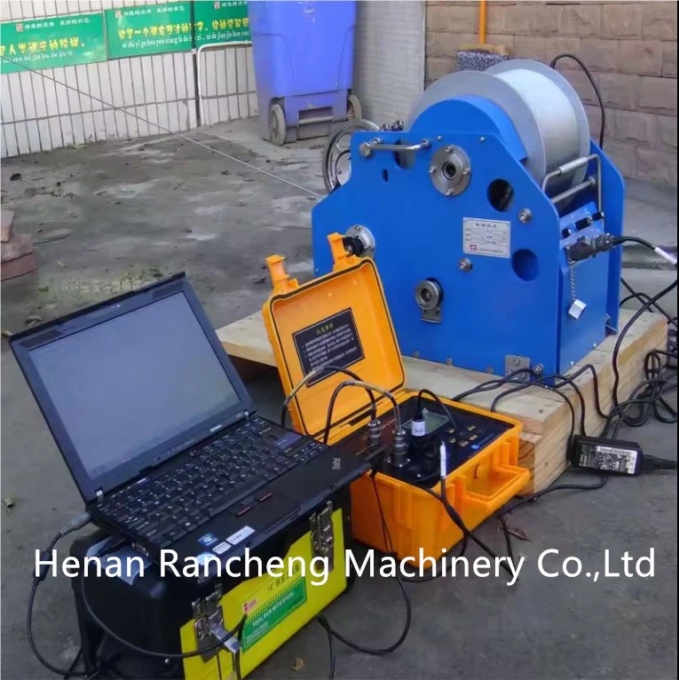
Geophysical logging also plays a key role. Geophysical Logging Tools and Geophysical Logging Equipment are used to gather data about the subsurface conditions in coastal areas. This data can help us understand how the land and the ocean interact, which is important for predicting long - term water level changes. For example, if we know the permeability of the coastal soil, we can better estimate how water will flow during a flood event.
Satellite remote sensing is another powerful technique. Satellites can provide a broad view of the ocean surface, allowing us to monitor large - scale changes in water level. They can detect things like ocean currents, which can affect local water levels. By combining satellite data with data from ground - based sensors, we can get a more comprehensive picture of what's going on in the coastal area.
Computer models are also essential. These models take all the data we collect from various sources and use complex algorithms to predict future water level changes. They can simulate different scenarios, such as how a particular storm might affect the water level or how sea - level rise will impact a coastal community over the next few decades.

In addition to these high - tech methods, historical data is also very valuable. By looking at past water level records, we can identify trends and patterns. For example, if we notice that water levels in a certain area tend to rise during a particular season or after a specific type of weather event, we can use this information to make more accurate predictions.
As a water level supplier, I'm always looking for ways to improve our prediction methods. We work closely with scientists, researchers, and coastal management agencies to ensure that we're using the latest and most accurate techniques. Our goal is to provide our customers with the best possible information so that they can make informed decisions about their coastal projects.
If you're involved in any project that requires accurate water level predictions, whether it's building a coastal resort, protecting a wetland, or planning a flood - prevention strategy, we can help. We offer a range of products and services, from high - quality water level sensors to comprehensive data analysis and prediction reports. Our team of experts is ready to assist you every step of the way.
Don't hesitate to reach out to us if you're interested in learning more about our offerings or if you have any questions about water level prediction in coastal areas. We're here to make sure that you have the tools and information you need to succeed.
References
- Pugh, D. T., & Woodworth, P. L. (2014). Tides, Surges, and Mean Sea - Level. Cambridge University Press.
- IPCC. (2019). Special Report on the Ocean and Cryosphere in a Changing Climate.
- Gornitz, V. (Ed.). (2012). Sea - Level Rise: History and Consequences. Springer Science & Business Media.